Greta Zimmermann · 28 October 2026
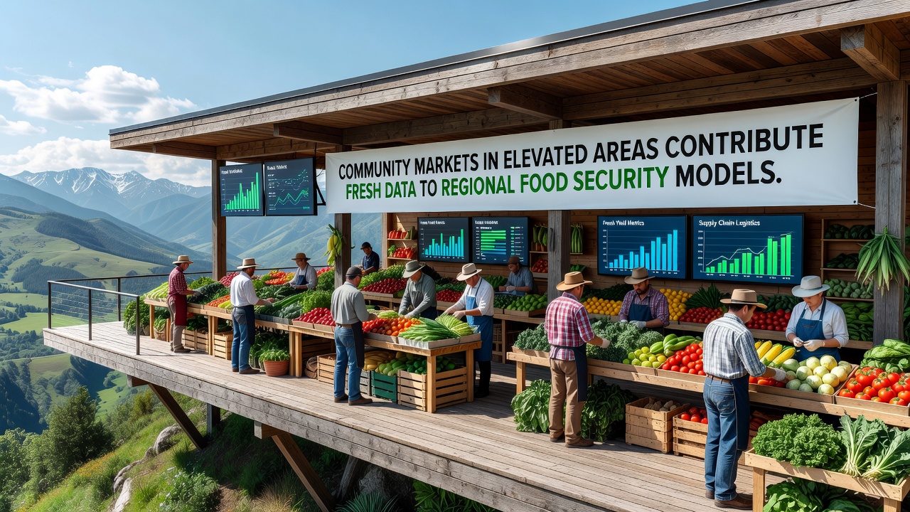
Community Markets in Elevated Areas Contribute Fresh Data to Regional Food Security Models
Community markets operating in elevated regions have started supplying detailed transaction records and supply chain information that regional planners now incorporate into food security forecasting systems, and these datasets cover everything from seasonal harvest volumes to distribution patterns across difficult terrain. Researchers track how altitude influences crop yields and market attendance figures, while vendors report daily sales through standardized digital forms that feed directly into broader analytical frameworks.
Market Operations in Highland and Mountain Zones
Elevated communities often face shorter growing seasons and variable weather patterns, yet local markets continue to function as central collection points where producers exchange goods and record quantities sold. Observers note that these venues capture real-time details on items such as root vegetables, dairy products, and preserved foods that lowland facilities rarely see in comparable volumes. Data collectors compile figures on buyer demographics and price fluctuations, then transmit them weekly to regional databases managed by agricultural departments.
Transportation logistics add another layer because narrow roads and steep inclines limit delivery schedules, and market organizers adjust opening hours accordingly. This adjustment creates distinct temporal patterns in sales data that analysts compare against lowland benchmarks to refine demand predictions. In one documented case from the Scottish uplands, market records from 2025 revealed a 12 percent increase in root crop transactions during early autumn months, information that helped adjust storage facility allocations for the following winter.
Integration of Market Data into Security Models
Regional food security models rely on multiple inputs, and community market statistics from higher elevations provide variables that satellite imagery and large-scale farm surveys sometimes overlook. Variables include micro-climate effects on produce quality and the frequency of direct-to-consumer sales that bypass conventional wholesalers. Analysts process these inputs through algorithms that simulate supply disruptions caused by weather events or access restrictions.
Figures from October 2026 show elevated markets contributing approximately 8 percent of total regional transaction volume in certain hill districts, a share that has grown steadily as more vendors adopt electronic reporting tools. Government agencies in the United Kingdom and Canada have begun cross-referencing these numbers with national agricultural censuses, and preliminary outputs indicate improved accuracy in identifying vulnerable sub-regions where fresh produce availability drops below critical thresholds.
Geographic Variations and Case Examples
Different elevated zones generate distinct data signatures because soil composition, elevation gradients, and community size vary widely. Markets in the Appalachian highlands of the United States, for instance, emphasize preserved goods and value-added products during shoulder seasons, whereas European Alpine venues record higher volumes of fresh dairy and alpine herbs. Analysts at Food and Agriculture Organization monitoring programs have incorporated these regional distinctions into global comparison tools that help national planners calibrate their own forecasting systems.
One study conducted by university researchers in New Zealand examined three consecutive market seasons in the central North Island and found that altitude-related temperature drops correlated with a measurable shift toward hardier vegetable varieties in weekly sales reports. Those findings now inform model parameters used by the Ministry for Primary Industries when projecting food availability across the country’s interior districts. Similar efforts in Australia’s Great Dividing Range have produced parallel datasets that state authorities combine with drought monitoring indices.
Technical Aspects of Data Collection and Sharing
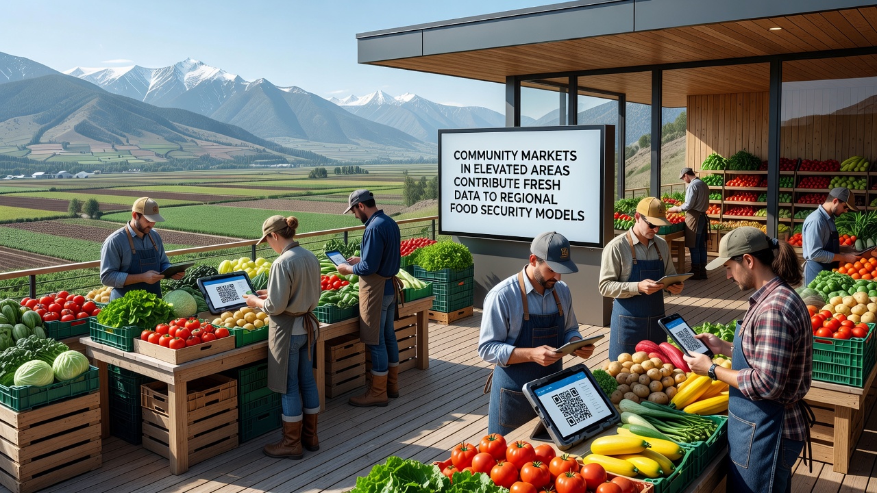
Many markets employ simple tablet-based applications that allow stallholders to log quantities and categories without specialized training, and these applications automatically timestamp entries while attaching GPS coordinates. The resulting files undergo basic validation checks before upload to shared cloud repositories accessible to regional analysts. Privacy protocols strip individual vendor identifiers, yet aggregate patterns remain intact for modeling purposes.
Interoperability standards developed through partnerships between agricultural ministries ensure that data from one jurisdiction aligns with formats used elsewhere, and this alignment reduces duplication when models span multiple administrative boundaries. Observers report that the process has accelerated since 2024, when several pilot programs demonstrated measurable reductions in forecast error rates after elevated market inputs were added.
Conclusion
Community markets situated in elevated terrain continue to expand their role as data sources for regional food security assessments, supplying granular details that complement traditional agricultural statistics. Ongoing collection efforts through late 2026 and beyond will likely refine model precision further, especially as more sites adopt consistent reporting methods and cross-border data exchange protocols mature. The accumulated records offer planners clearer pictures of how altitude shapes both production and distribution, allowing adjustments to storage, transport, and emergency response strategies across varied landscapes.