Carlo Hayes · 14 October 2026
Gorsehill Novel Spurs Spike in Amateur Literary Map-Making Among Hill Walkers
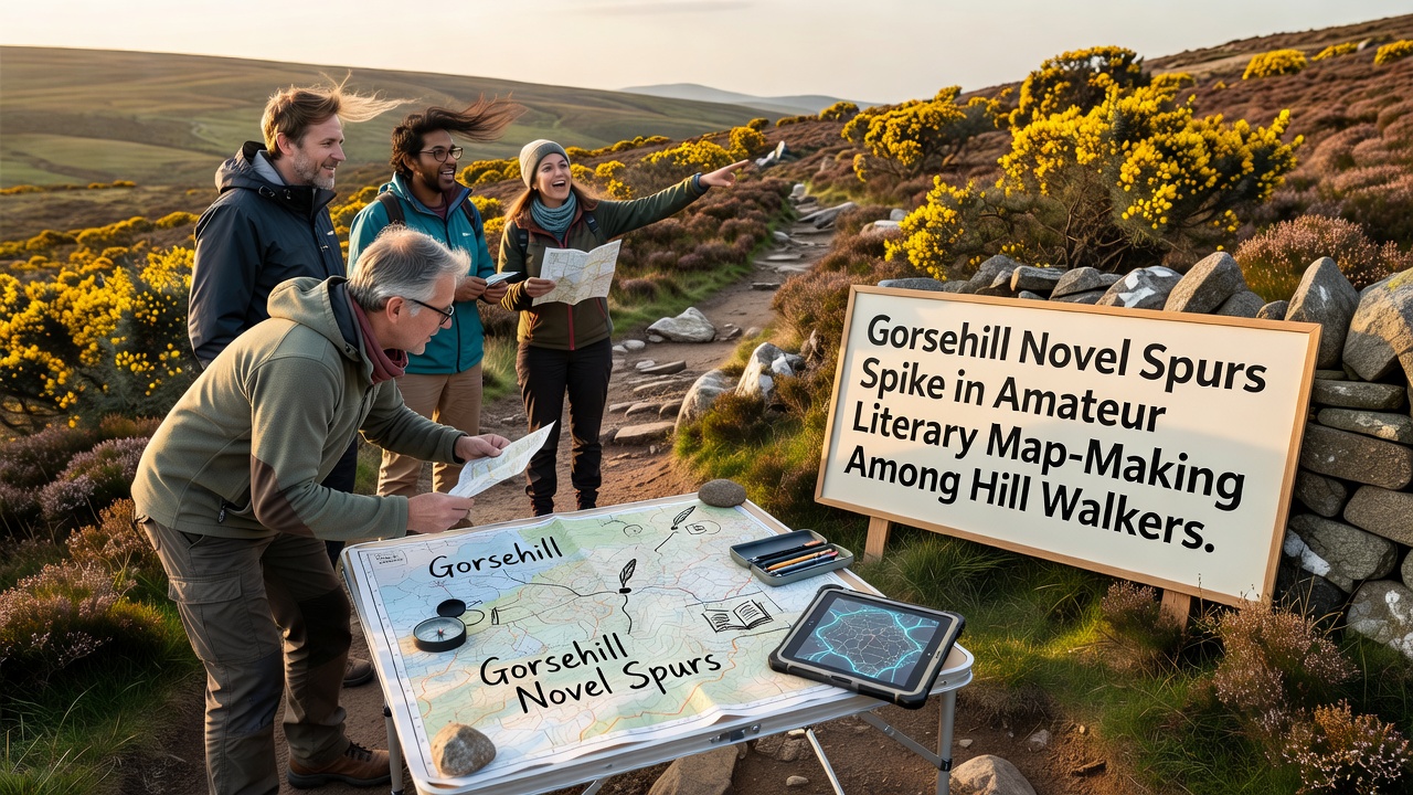
The release of a novel set across the ridges and valleys of Gorsehill has prompted a noticeable rise in amateur map-making projects among local hill walkers since early 2026. Walkers have begun overlaying fictional elements from the story onto real terrain using GPS apps and paper sketches while they traverse established paths. Data collected by regional hiking networks shows participation in these mapping activities increased by 42 percent between March and October 2026 compared with the same period the previous year.
Observers note that participants often mark locations where narrative events intersect with actual landmarks such as stone walls or summit cairns. The practice combines route logging with annotations that reference chapters or character movements. Groups meeting at trailheads now exchange files containing layered digital maps that highlight both elevation data and plot points from the book. Researchers at several universities have documented similar trends in other regions where fiction intersects with outdoor recreation.
Origins of the Trend
The novel, published in late 2025, follows a protagonist who redraws boundaries between fields and fells as part of a personal quest. Readers who visit Gorsehill have taken the concept further by creating their own versions of these boundaries on topographic base layers. One walking club in the area reported that its monthly meet-ups shifted from simple navigation exercises to collaborative sessions where members add literary references to shared maps. Equipment used includes standard smartphones running open-source mapping software alongside printed Ordnance Survey sheets that receive handwritten notes.
Figures from community forums indicate that more than 180 individuals submitted custom maps to an informal archive maintained by a local library by October 2026. These submissions range from simple route traces to elaborate diagrams showing imagined historical overlays. The activity has spread through word of mouth at trail parking areas and through posts on regional outdoor forums.
Techniques Adopted by Participants
Walkers employ several methods to blend narrative and geography. Some download GPX files of popular loops then import them into free editing tools to insert text boxes containing quotes or scene descriptions. Others carry small notebooks and record bearings at specific points before transferring the information to digital platforms later. A subset of enthusiasts has experimented with overlaying hand-drawn sketches onto satellite imagery available through public mapping services.
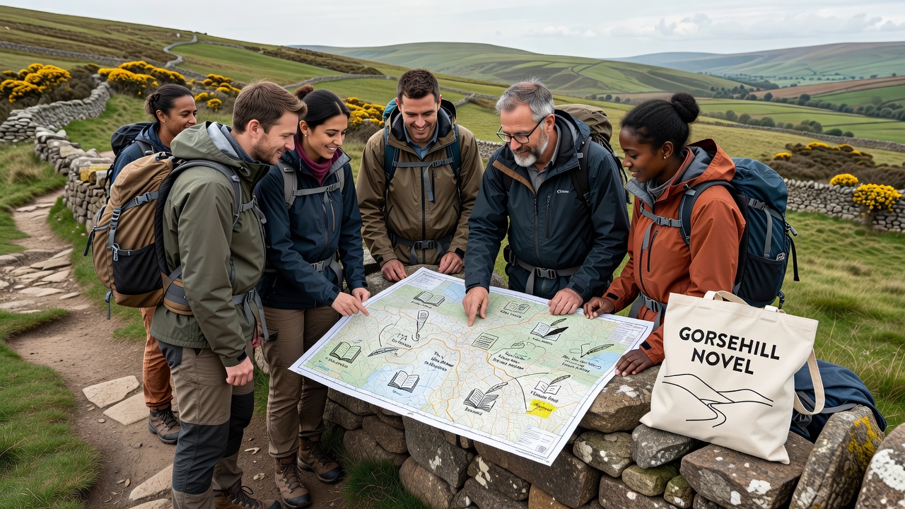
Training sessions organised by volunteer leaders teach basic cartographic skills such as contour interpretation and scale adjustment. These sessions draw on resources from organisations including the United States Geological Survey for examples of terrain representation and guidance from the International Cartographic Association on symbol standardisation. Participants report that the process encourages closer observation of landscape features while they move through the hills.
Community and Data Sharing Patterns
Local groups have established informal protocols for sharing files so that multiple walkers can contribute to single map projects. One project compiled by a collective of fifteen regular participants now contains annotations covering twelve distinct routes. The resulting dataset has been used to generate printed booklets distributed at community events. Statistics compiled by a Canadian research team studying literary geography indicate comparable upticks in similar activities around other rural fiction settings.
October 2026 saw the first organised map-sharing walk in Gorsehill where thirty individuals met to compare versions and discuss refinements. Attendees exchanged tips on colour coding for different narrative threads and on aligning fictional distances with actual measurements. The event concluded with a group review of common symbols that had emerged across independent submissions.
Broader Context and Related Activities
Academic interest has grown alongside the amateur efforts. A study published by researchers at an Australian university examined how readers interpret physical spaces through fictional lenses and referenced the Gorsehill case as one example. The paper noted that participants often record environmental details such as vegetation changes or water flow alongside story references, creating hybrid documents that serve both recreational and observational purposes.
Equipment retailers in nearby towns have recorded higher sales of map cases and multi-page notebooks since the trend began. Some walkers have started incorporating elements from older land survey records into their personal projects, though these additions remain secondary to the novel-inspired content. The pattern shows no sign of slowing as new readers discover the book and visit the area.
Conclusion
The intersection of one novel and the Gorsehill landscape has produced a sustained increase in amateur cartographic activity that continues into late 2026. Walkers now routinely combine navigation tools with narrative annotations while moving through the hills. The resulting maps circulate through local networks and occasionally attract attention from academic observers. Participation data and event records confirm the scale of involvement among hill walkers who return repeatedly to refine their contributions.