Iris Simmons · 30 September 2026
Hilltop Wall Repairs Uncover Forgotten Mapping Techniques from Past Land Surveys
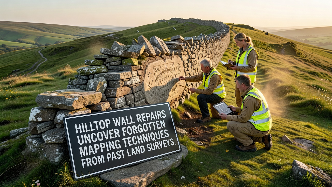
Repairs to hilltop walls in the Gorsehill area began in September 2026 and quickly revealed embedded survey markers along with measurement notations that date back to 19th-century land surveys; these findings connect directly to triangulation methods and chain-based distance calculations once standard across British upland regions. Crews working on boundary restoration noticed carved benchmarks and inscribed reference points integrated into the stonework, points that align with records from earlier Ordnance Survey campaigns. Local historians cross-referenced the markings against archived field books, confirming the stones had served dual purposes as both physical barriers and permanent survey monuments.
Discovery During Routine Restoration Work
Initial inspections focused on structural stability after winter erosion loosened several courses of stone, yet the process exposed layers of earlier construction where surveyors had embedded metal pins and etched angular notations. These elements correspond to techniques that relied on theodolites for angle measurement and Gunter's chains for linear distances, practices documented in period manuals from the 1830s onward. Observers note the markers appear at regular intervals consistent with baseline extensions used to establish control points across elevated terrain.
Mapping Methods Revealed by the Exposed Features
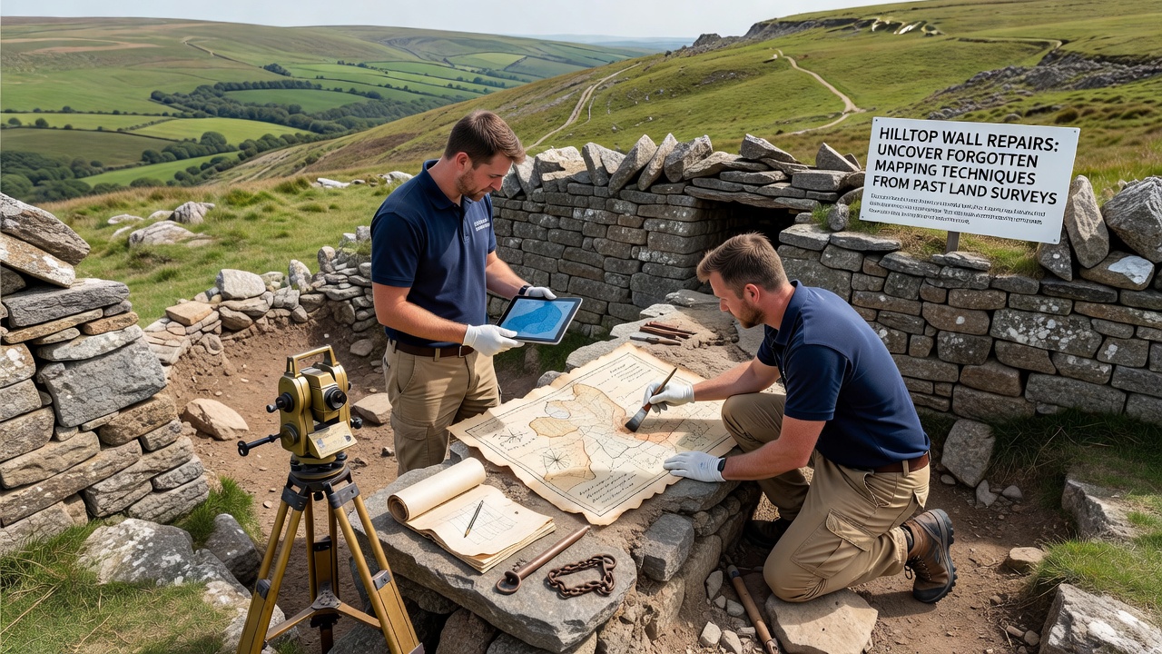
The uncovered notations demonstrate how survey teams established primary triangles before filling in secondary points with subsidiary observations, a sequence that minimized cumulative error across hilly ground where line-of-sight challenges were common. One set of inscriptions references a specific azimuth and chain count that matches entries in surviving field notebooks held by regional archives, allowing researchers to reconstruct the original survey network. Additional finds include faint paint residues on certain stones that once marked instrument stations, evidence of the temporary setups required before permanent markers were set.
Comparison with Contemporary Survey Records
Cross-checking against published maps from the same era shows the hilltop features formed part of a larger control framework that extended into adjacent valleys, providing the geometric backbone for later cadastral mapping. Data from the United States Geological Survey on historical triangulation networks illustrates parallel approaches used in comparable upland environments, while reports from Geoscience Australia highlight how similar embedded markers have informed modern datum adjustments in other regions. The Gorsehill examples add local detail to these broader patterns, particularly regarding the adaptation of standard methods to steep gradients and variable bedrock conditions.
Technical Details of the Uncovered Techniques
Chain surveying involved standardized links of precisely measured length deployed between ranging rods, with corrections applied for slope and temperature variations recorded in accompanying logs. Theodolite observations supplied horizontal and vertical angles that closed the triangles and verified positional accuracy, often to within fractions of a link over several miles. The wall-embedded examples preserve both the final positions and intermediate calculation notes, offering direct evidence of field arithmetic that preceded electronic computation by more than a century.
Integration with Regional Land Records
Archival cross-referencing indicates the same survey parties that placed these markers also produced the first detailed tithe maps for surrounding parishes, linking wall construction dates to enclosure acts of the early 1800s. Property boundaries established at that time still influence current land divisions, so the rediscovered points supply verifiable control for any future digital resurvey efforts. Maintenance teams have now documented the locations and shared coordinates with county planning offices to prevent future disturbance during infrastructure projects.
Conclusion
The September 2026 repairs have therefore converted a straightforward maintenance task into an opportunity to recover primary evidence of historical survey practice. The exposed markers and notations provide tangible links between physical landscape features and the geometric frameworks that shaped modern property records, demonstrating how 19th-century techniques continue to underpin present-day mapping accuracy when properly identified and preserved.