Greta Zimmermann · 16 September 2026
How Gorsehill's Dry Stone Walls and Skylark Habitats Are Shaping Regional Biodiversity Data Collection
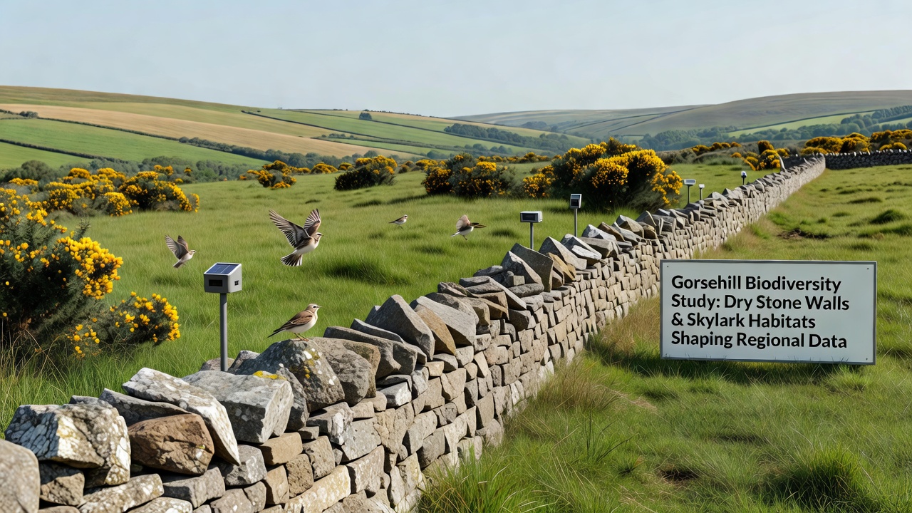
Researchers across the region have tracked how traditional dry stone walls in Gorsehill support diverse insect populations and nesting opportunities while adjacent skylark territories provide measurable indicators for grassland health, and these features together drive refinements in how field teams gather and standardize biodiversity metrics. Data collection protocols now incorporate wall structure assessments alongside bird territory mapping because the combination reveals patterns in species distribution that single-focus surveys often miss. Local monitoring groups coordinate with academic partners to record wall lichen coverage, invertebrate density, and skylark song activity within the same transects, which creates layered datasets that regional databases can query more effectively.
Dry Stone Walls as Structural Habitats
Stone walls built centuries ago continue to function as linear corridors that connect fragmented patches of meadow and arable land around Gorsehill, and ecologists document higher abundances of ground beetles, spiders, and solitary bees within the crevices compared with open field margins. Survey teams measure wall height, gap frequency, and vegetation cover at regular intervals so that changes in these physical characteristics can be correlated with shifts in invertebrate communities over multiple seasons. In practice this means field forms now include standardized codes for wall condition that feed directly into GIS layers used by regional biodiversity platforms.
Skylark Territories and Grassland Indicators
Skylarks establish breeding territories in the same fields where walls provide shelter, and their presence or absence supplies a visible proxy for sward structure and grazing intensity. Observers record song flights, nest locations, and foraging distances during peak breeding months, then cross-reference those observations with vegetation height measurements taken at the same sample points. The resulting records show that territories cluster more densely where wall-adjacent strips remain ungrazed until late summer, a pattern that has prompted adjustments in how agricultural advisors interpret farmland bird indices for the broader region.
Integrated Data Collection Methods
Teams now combine acoustic recorders placed along walls with visual point counts for skylarks so that both vocal and visual signals contribute to occupancy models. Automated sound analysis identifies skylark phrases while human listeners verify wall-associated species such as wheatears and meadow pipits, and the merged outputs enter a shared repository that updates weekly. This approach reduces duplicate effort and supplies consistent time stamps that allow analysts to detect short-term responses to weather events or management changes. Citizen science participants receive training on both wall photography protocols and bird recording apps, which increases the volume of georeferenced observations available for validation against professional surveys.
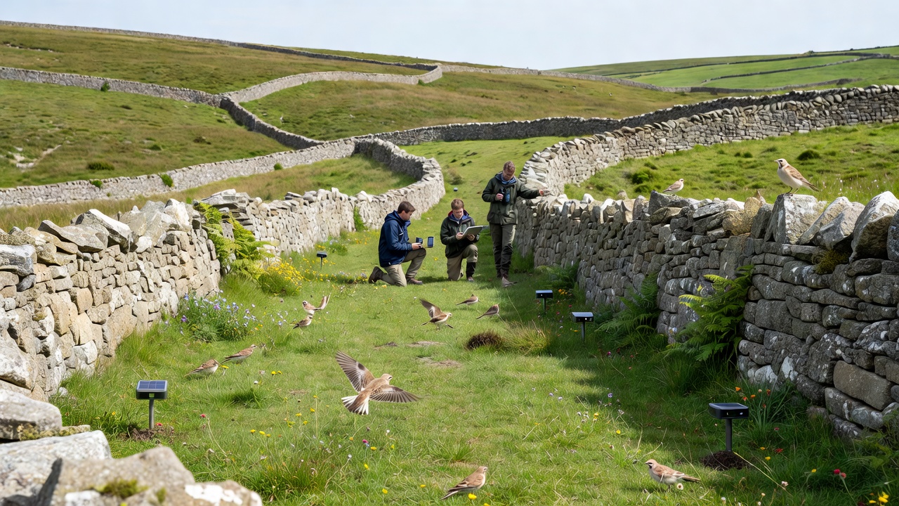
September 2026 marks the scheduled release of an updated regional biodiversity atlas that will incorporate three years of wall and skylark data collected under the revised framework. Project leads expect the atlas to highlight previously under-sampled corridors where wall restoration could improve connectivity for multiple taxa. Funding bodies have tied continued support to evidence that the combined monitoring yields statistically robust trends rather than isolated snapshots.
Regional Database Integration
Regional platforms now accept uploads that bundle wall condition scores with skylark territory polygons, and query tools allow users to filter results by both variables simultaneously. Analysts at partner institutions have tested machine-learning classifiers on the combined dataset to predict areas likely to support high invertebrate diversity based on wall features and skylark density alone. Early outputs indicate that models trained on Gorsehill records generalize reasonably well to neighboring districts with similar geology and farming systems. Data standards developed locally have been shared with groups working in upland areas of northern England and parts of the Scottish borders, where comparable wall networks exist.
Training and Quality Control
Workshops held throughout the year teach volunteers how to photograph wall sections at consistent angles and how to distinguish skylark song from similar species in noisy conditions. Quality control teams review a random subset of submissions each month and feed corrections back into training materials. The process has tightened agreement rates between different observers and reduced the time required to clean incoming records before they enter the main database. Equipment loans for acoustic recorders and GPS units have expanded participation among smaller community groups that previously lacked access to specialized tools.
Conclusion
Continued refinement of these integrated methods depends on sustained coordination between landowners, researchers, and database managers who maintain the shared infrastructure. Records accumulated through wall and skylark monitoring supply the empirical foundation for habitat management recommendations that regional authorities can apply across multiple administrative boundaries. As the September 2026 atlas publication approaches, the emphasis remains on maintaining consistent data streams that capture both structural and biological components of the landscape.